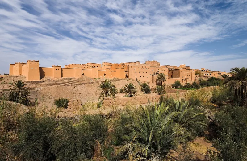
Hiking near Ouarzazate: Jbel Saghro, Siroua, M'Goun and Gorge Walks
Ouarzazate sits between the High Atlas and the Anti-Atlas, with easy oasis walks close to town and some of Morocco's best treks a few hours away. Where to hike, when to go and how to find a qualified guide.
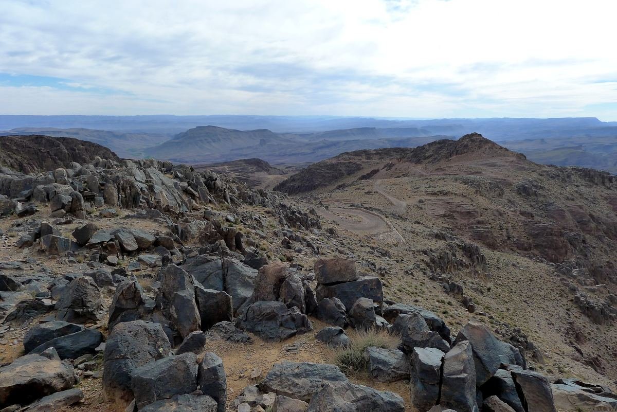
Hiking near Ouarzazate ranges from flat two-hour walks through palm groves to week-long treks across volcanic mountains. The town sits on a plateau between the High Atlas and the Anti-Atlas, so within a few hours' drive you have the Jbel Saghro, the Siroua massif and the M'Goun, plus the Dades and Todra gorges for shorter hikes. The key is choosing the right area for the season.
Hiking near Ouarzazate: the areas at a glance
Distances and drive times are approximate, from Ouarzazate to the usual trailheads.
| Area | Highest point | Access from Ouarzazate | Typical length | Best season |
|---|---|---|---|---|
| Fint oasis, Skoura palm grove | low, around 1,100 to 1,300 m | 15 to 45 minutes | 2 to 4 hours | October to May |
| Dades gorges | valley walks | about 2 hours | 3 to 4 hours | March to May, September to November |
| Todra gorge | valley and ridge walks | about 3 hours | 3 to 5 hours | March to May, September to November |
| Jbel Saghro | Amalou n'Mansour, 2,712 m | about 2 to 2.5 hours (Nkob or Tagdilt) | 4 to 7 days | October to April |
| Jbel Siroua | about 3,304 m | about 1 hour (Anezal) | 5 to 7 days | spring and autumn |
| M'Goun massif | Ighil M'Goun, 4,071 m | about 1.5 hours (Kelaat M'Gouna) | 3 to 7 days | May to October |
Easy walks close to town
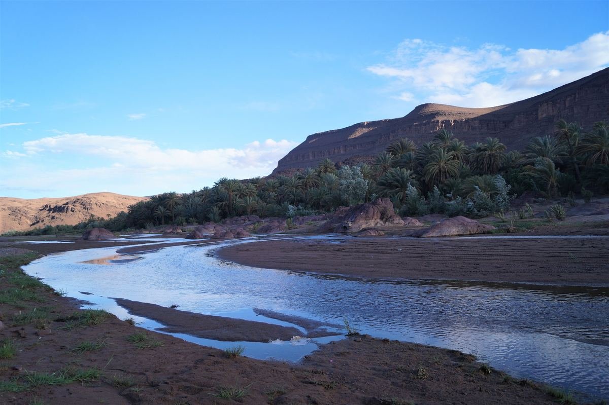
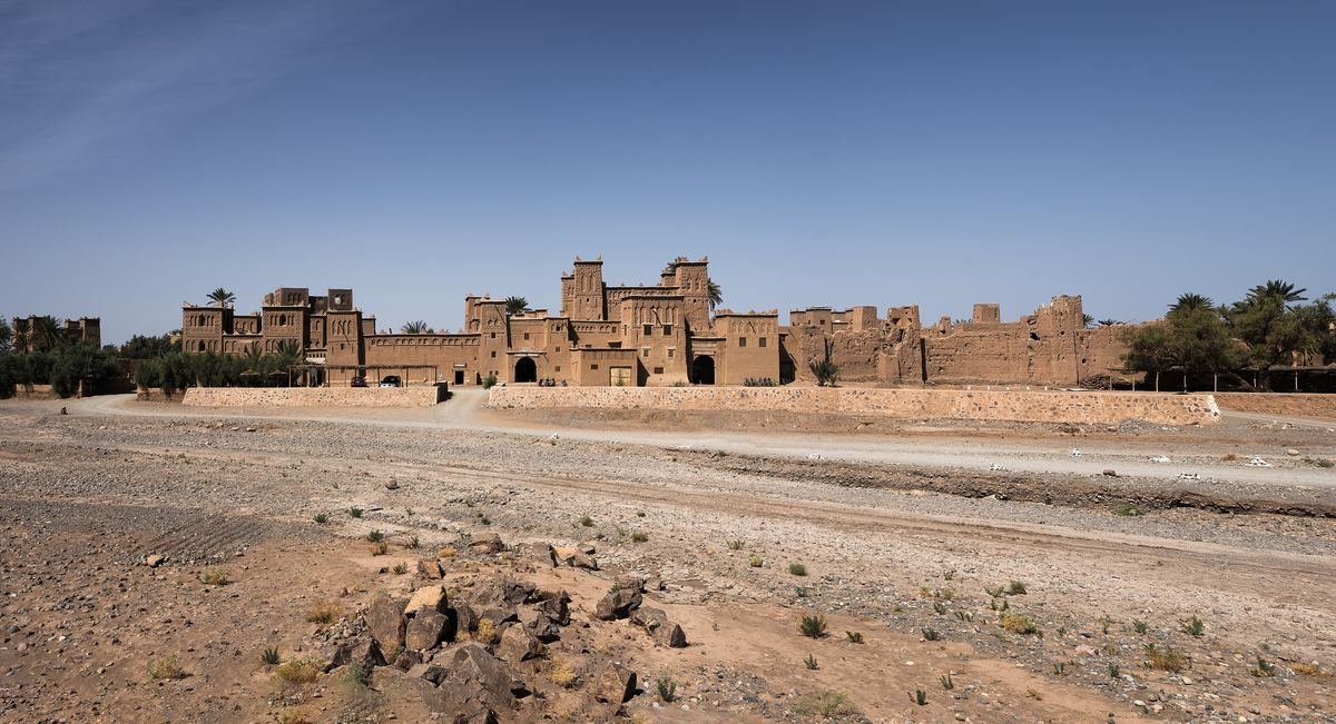
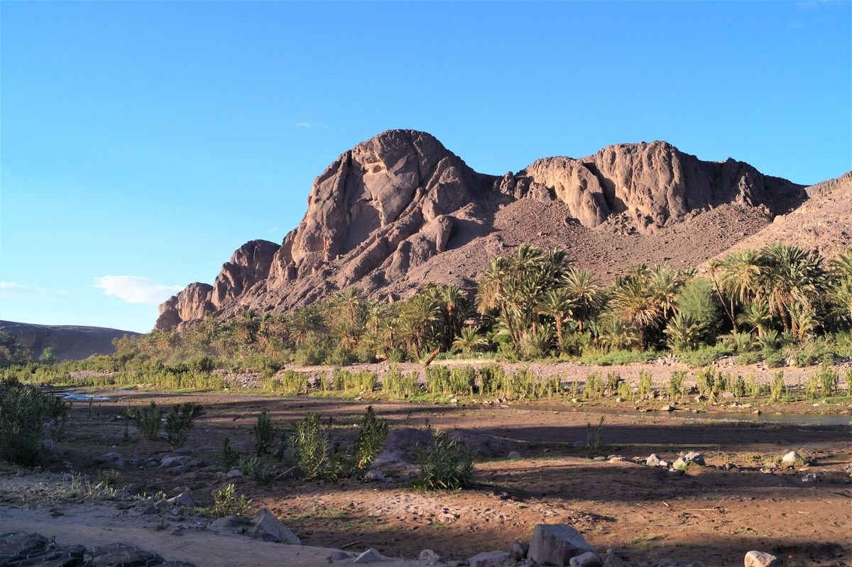
You do not need to leave the Ouarzazate area for a good half day on foot. The Fint oasis, about 12 km from town, is a ribbon of palms and gardens between black hills, with footpaths linking its hamlets. In the Skoura palm grove, about 40 km east, paths run between earthen kasbahs and irrigated fields. Both are flat and suit families, as long as you go early or late in the day.
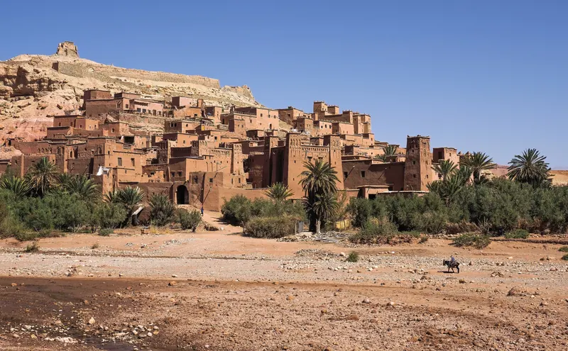
Around Aït Ben Haddou, the hills behind the ksar give wide views over the Ounila valley. Further south, near Agdz, strong walkers climb Jbel Kissane with a local guide, which fits well into a day in the Draa valley.
Day hikes in the Dades and Todra gorges
The two gorges east of Ouarzazate are the classic choice for a proper day hike without camping.
Dades gorges
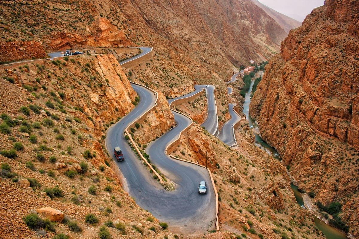
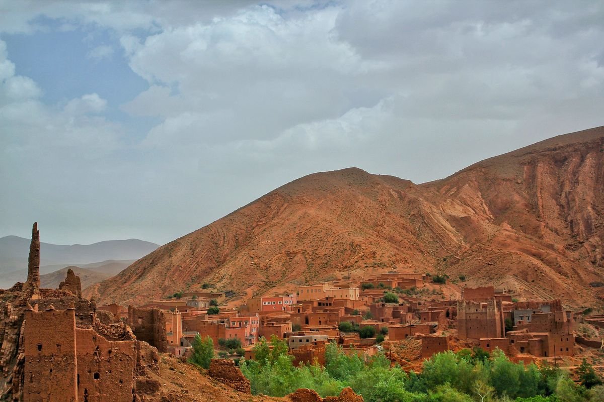
The best-known walk leads through the eroded red rock formations nicknamed the "monkey fingers", in the lower part of the gorges. Loops of about 8 to 9 km take around 3 to 4 hours, with narrow passages, a few easy scrambles and a stop in a village along the way. Local guides offer shorter and longer variants. Our guide to the Dades gorges from Ouarzazate covers the valley in detail.
Todra gorge
Beyond the short walk through the narrowest part of the canyon, a popular loop climbs above the gorge, crosses high ground used by semi-nomadic herders and comes back down through the gardens near Tizgui. Allow 3 to 5 hours depending on your pace. It is about 170 km from Ouarzazate, so it works best with a night in Tinghir or the gorge; see our Todra gorge guide.
Jbel Saghro: Morocco's winter trek
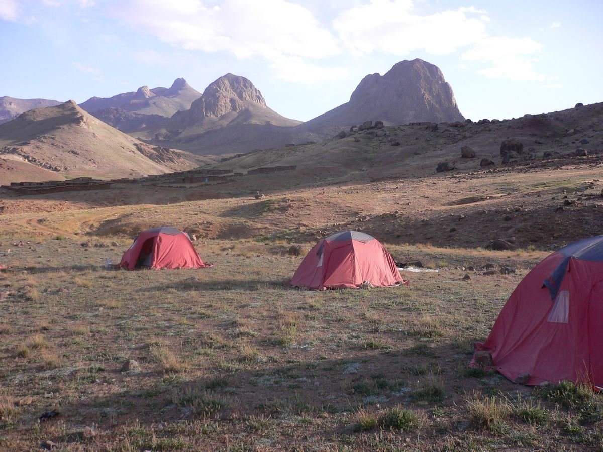
The Jbel Saghro trek is the best-known multi-day hike in the region. The range lies south of the Dades valley, between the High Atlas and the Anti-Atlas, and its highest summit, Amalou n'Mansour, reaches 2,712 m. It is the driest part of the Atlas system, a landscape of dark volcanic rock, mesas, canyons and isolated pinnacles. The rock towers of Bab n'Ali are its most famous sight.
Saghro is the land of the Aït Atta, a Berber tribe whose semi-nomadic families still winter here with their flocks. It was also the scene of the battle of Bou Gafer in 1933, the last great resistance of the Aït Atta to French forces. See the Jbel Saghro overview on Wikipedia for more background.
- Length: usually 4 to 7 days, crossing the range between Nkob in the south (about 135 km from Ouarzazate) and Tagdilt near Boumalne Dades in the north, with 5 to 7 hours of walking a day.
- Season: October to April. Because it is lower and drier than the High Atlas, Saghro stays walkable when the high peaks are under snow. Nights can be freezing in winter.
- Logistics: treks are normally supported by mules carrying the bags and water, with nights in tents or simple gîtes.
Jbel Siroua: the volcano between two ranges
Jbel Siroua is an old volcanic massif that links the High Atlas and the Anti-Atlas, southwest of Ouarzazate. Its summit is about 3,304 m. Treks pass terraced villages, high pastures and volcanic rock formations, and many include the summit. They usually start from Anezal, about 60 km from Ouarzazate on the road to Taznakht, or from Askaoun and Taliouine, the saffron town, on the western side.
Most itineraries last 5 to 7 days. Spring and autumn are the best seasons; the summit can hold snow in winter, and summer days are hot in the lower valleys.
M'Goun: the high summer option
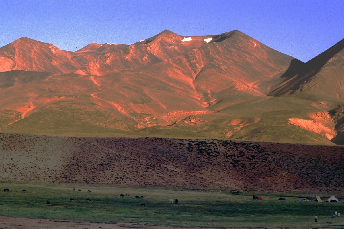
The M'Goun massif, north of Kelaat M'Gouna, is the big mountain trek of the central High Atlas. Ighil M'Goun is usually given as 4,071 m, one of the highest summits in Morocco. The classic approach starts in the Aït Bougmez valley on the northern side, with 3 to 4 days for the summit, or 6 days for a traverse that descends the M'Goun gorges to Bou Thrarar and the Valley of Roses, about 90 km from Ouarzazate.
The season runs from about May to October. In winter and early spring, snow makes the high passes a mountaineering affair. The gorges involve wading through the river, so they are best when water levels drop in summer.
Choosing a qualified mountain guide
Morocco has an official training system for mountain guides. Candidates pass a selection test and train at the Centre de Formation aux Métiers de Montagne (CFAMM) in Tabant, in the Aït Bougmez valley. Qualified guides carry an official card with their name and photo. Ask to see it, and ask what is included: mules and muleteer, food, tents, transport to the trailhead.
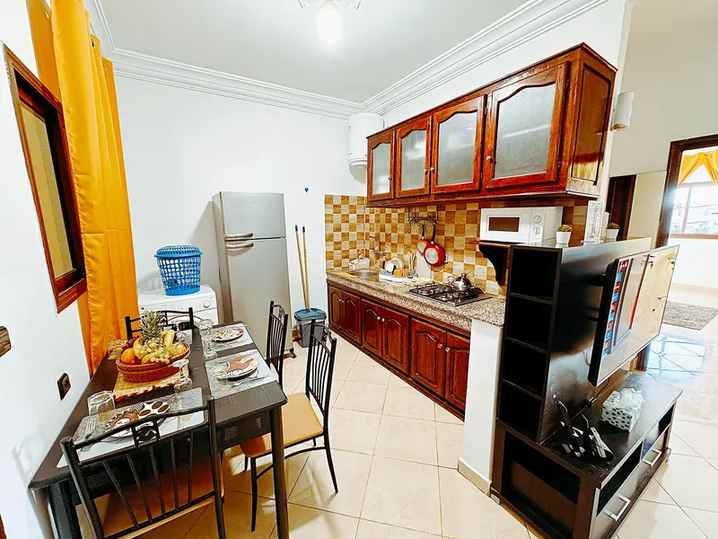
A good guide is not a luxury here. Trails are unmarked, water points are known only locally and many areas have no phone coverage. The reception at Residence Chay can help you arrange a guide before you arrive; mention your dates and level when you contact us.
Water, heat and safety
- Water: carry at least 2 to 3 litres per person for a day hike, more in warm weather. Treat or filter water from springs and streams.
- Heat: start at dawn from April onwards and rest in the shade at midday. Heat is the main risk on low-altitude walks.
- Cold: desert mountains get very cold at night, even when days are warm. Bring a warm layer and a good sleeping bag for treks.
- Flash floods: never camp or linger in a dry riverbed or narrow gorge when storms are around.
- Navigation: download offline maps, tell someone your route and do not rely on mobile signal.
For the right month for each kind of trip, see our guide to the best time to visit Ouarzazate.
Questions travellers ask
Do I need a guide to hike near Ouarzazate?
For short walks in Fint or the Skoura palm grove, no, though a local guide helps you find the paths. For multi-day treks in Jbel Saghro, Siroua or M'Goun, yes: trails are unmarked, water sources are hard to find and there is often no phone signal.
Can you hike near Ouarzazate in summer?
Only early in the morning at low altitude. From June to August the valleys and Jbel Saghro are too hot for serious walking. Summer is the season for the high M'Goun massif instead.
How long is a Jbel Saghro trek?
Most treks last 4 to 7 days, often between Nkob in the south and Tagdilt near Boumalne Dades in the north, with 5 to 7 hours of walking a day. Shorter loops of 2 or 3 days are possible.
Is Toubkal reachable from Ouarzazate?
Toubkal, at 4,167 m the highest peak in North Africa, is usually climbed from Imlil, south of Marrakech. From Ouarzazate it is more practical to trek in Saghro, Siroua or M'Goun, which are closer and much quieter.